Type of site:
Rock-Shelters
Place of location: Engarbo Cliffs, close to Frío river
Village/Town: Santiago-Pontones
Municipality: Santiago-Pontones (Jaén)
Region: Andalucía
State: Spain
Website: https://turismosantiagopontones.es/abrigos-de-rio-frio-de-canada-de-la-cruz-y-del-engarbo/
Natural Environment:
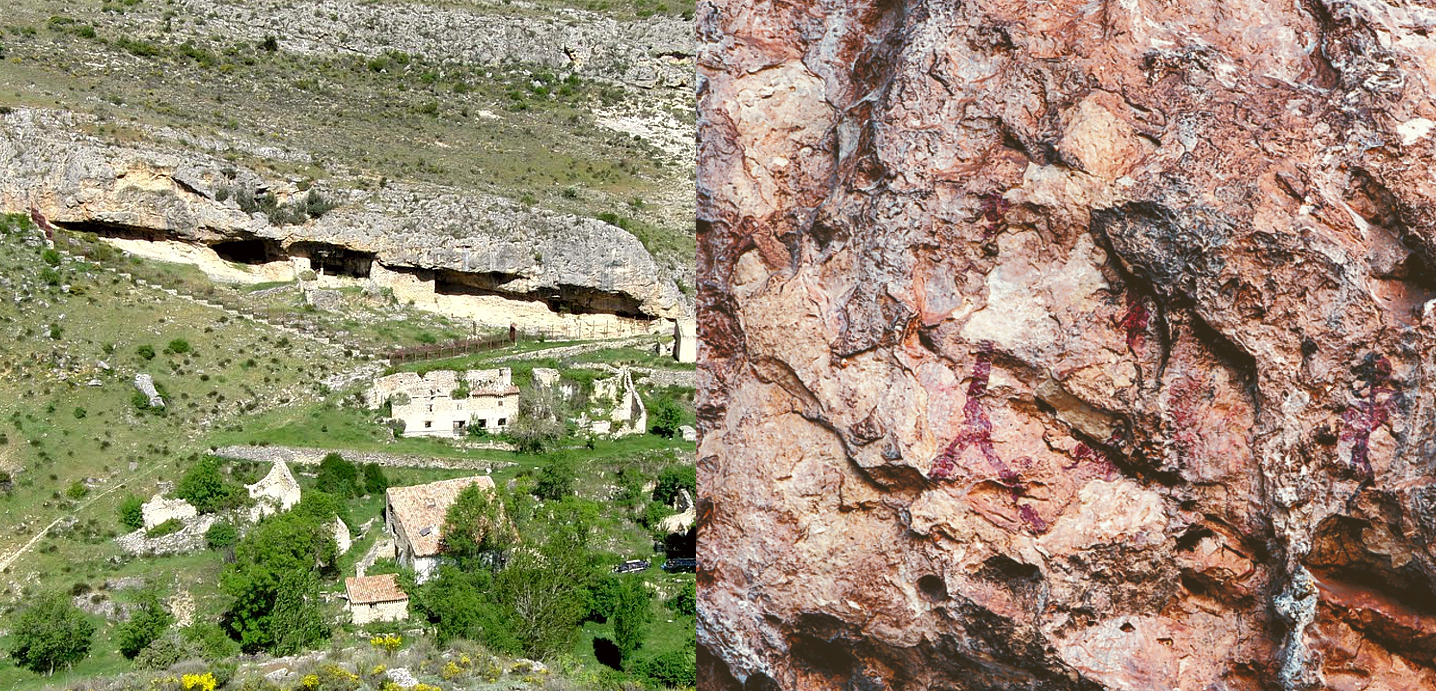
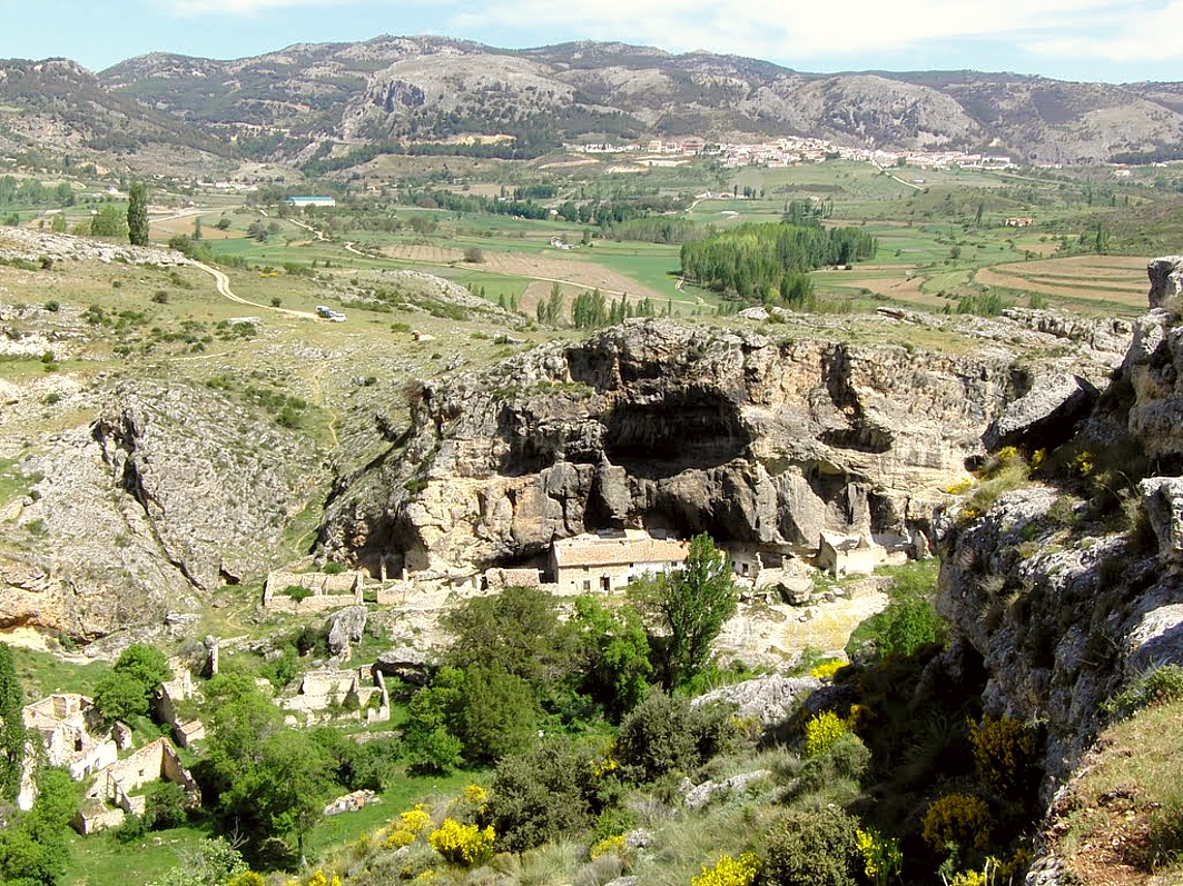
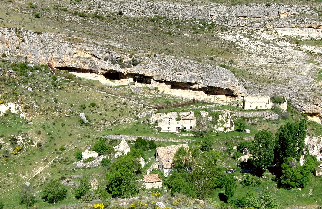
ENGARBO I: It is located very near the boundary between the provinces of Granada and Albacete, near the Nerpio centre. The site is 4km south of the town of Santiago de la Espada, near a group of ruined farmhouses forming a extended and uninhabited village. The limestone cliff with the rock-shelter is on the left bank of the Río Frío, shortly before its confluence with the Zumeta, at an altitude of 1207m. ENGARBO II: It is at the base of the cliffs on the left bank of the Río Frío, on a pronounced bend in the river, after going through a small gorge. It is up-river of the first site, a few hundred metres from Engarbo cliffs, which associates it with Engarbo I.
Archaeological evidences in the site:
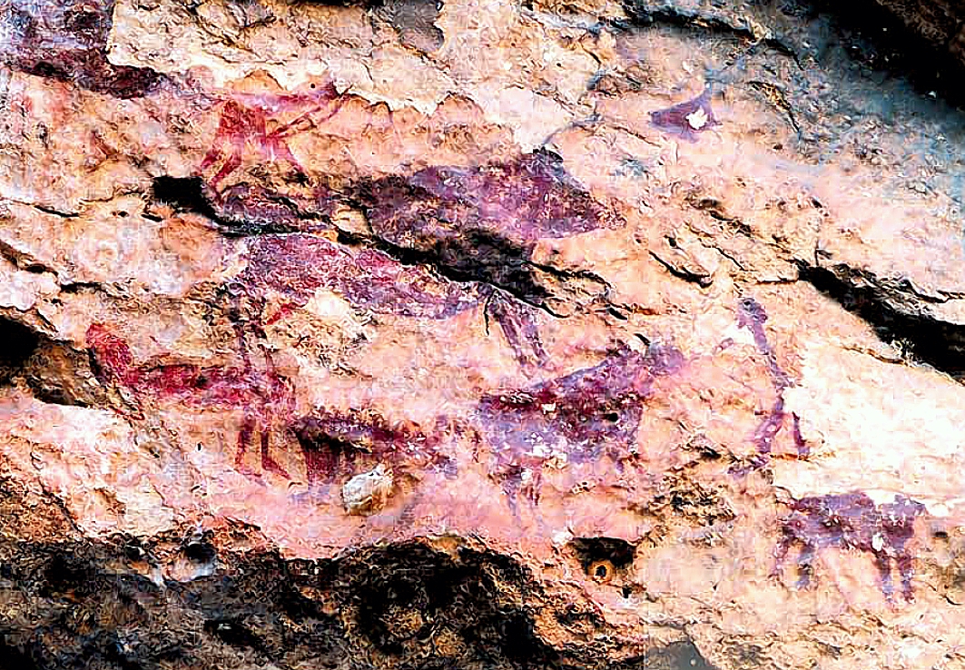
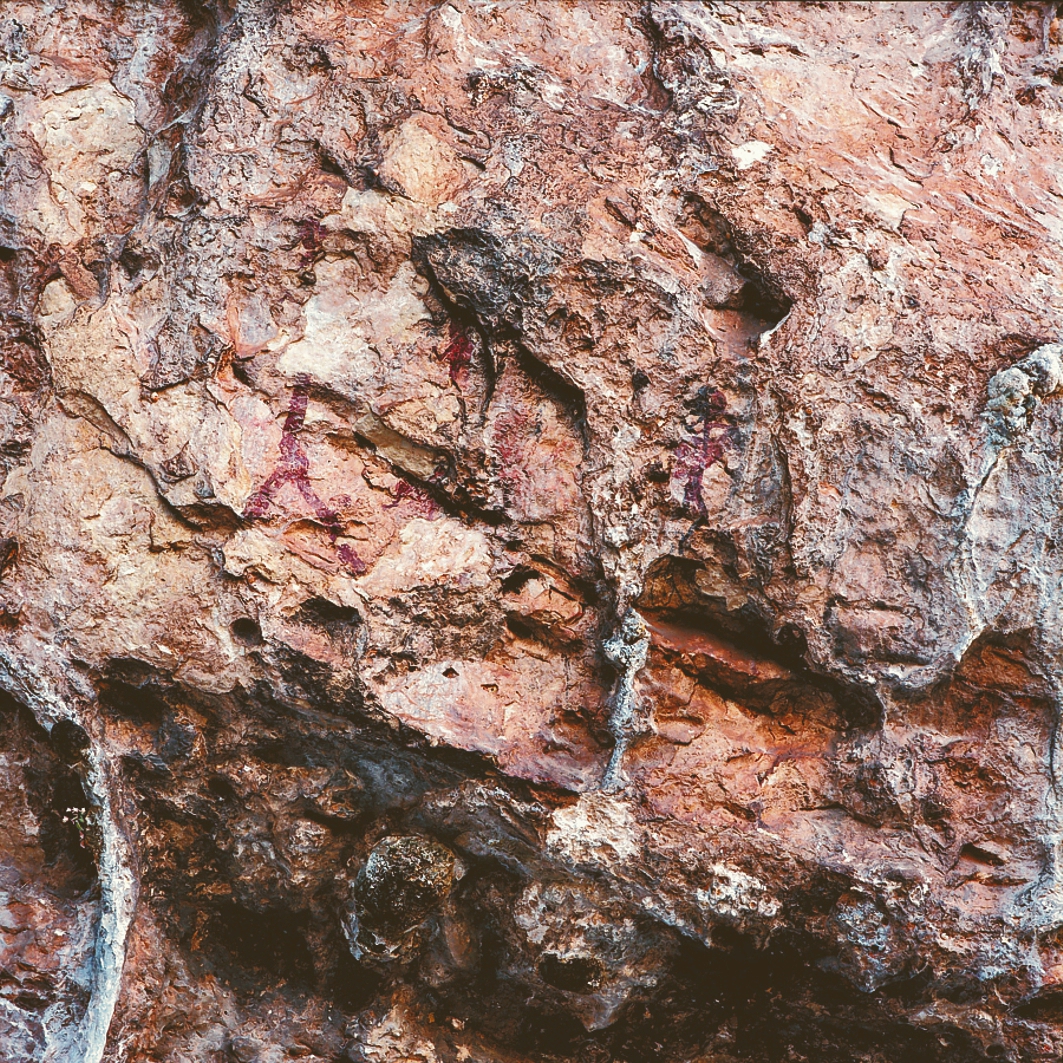
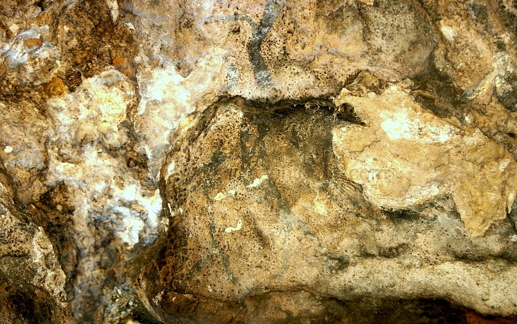
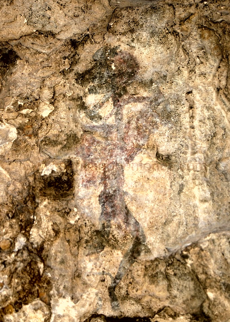
ENGARBO I is a long shallow rock-shelter which was used in historical times to hold a series of farm buildings (rooms, cow-sheds, hen-houses, ovens and so on), which were in use until recent times. The rocky base of some parts of the rock-shelter may have been quarried, and some of the paintings are now too high for the modern observer. However, due to this, the groups unaffected by the more recent buildings were preserved. However, other figures show signs of damage. Others might be covered by the layers of lime on some parts of the rock-shelter. ENGARBO II is a complex area, with a series of openings, two of which are connected by a passageway. They are at an altitude of 1220m and, except the opening with Panel I facing south, the rest of the rock-shelter faces east. The central part is about 3m deep and 5m high.


